Last updated: March 21st, 2023
TL;DR: The best hikes in Malibu are the Point Dume Cove Trail, Solstice Canyon Loop, and Corral Canyon Loop because they offer unique beauty and ocean views. Here’s a little more on them:
- Point Dume Cove Trail is an easy 1.4 mile out and back trail with great ocean views and it’s a good place to spot grey whales during their migration season.
- Solstice Canyon Loop is a 3.2 mile loop hike featuring a waterfall, ruins, a creek, and ocean views at the end.
- Corral Canyon Loop is a 2.3 miles loop hike with wildflowers, a river, ocean views, and a beach at the end. It’s off the main highway which means a less crowded experience.
Malibu is famous for its scenic beaches, celebrity culture, and gorgeous coastal real estate.
But I love it because it has some of the best hiking trails in Southern California.
Malibu has everything from mountain views to coastal trails along the Pacific Coast Highway.
And if you’re visiting Malibu for the first time, you’ll be glad to hear that the climate is mild and comfortable, making these trails accessible year-round.
Another thing I like about the hiking trails in Malibu (and maybe the most important thing to me!) is that most trails allow me to bring my dogs as long as they’re on a leash.
If you’re looking for ways to explore the nature of Malibu beyond the beautiful beaches, put on your hiking shoes, grab a water bottle, and hit the trail.
These are my picks for the best day hikes in Malibu!
Note: this article contains affiliate links, which help run this site at no extra cost to you so I can keep providing free travel advice and tips.
Get your FREE Los Angeles Mini Guide + a printable checklist with 100+ things to do in the city!
Santa Monica Mountains National Recreation Area

Parking: Free; open between 8 am and sunset.
Dog-Friendly: All dogs are allowed on a leash.
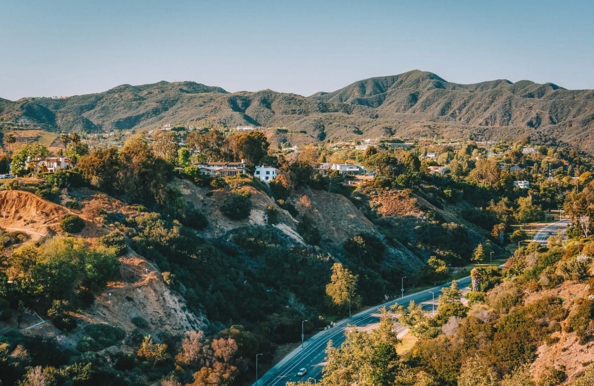
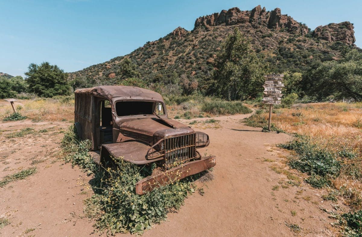
The Santa Monica Mountains National Recreation Area is one of the most visited natural areas in the entire state of California.
With so many individual parks, panoramic views of the Pacific Coast, and some of the best hikes in LA, you can always find a new place to explore.
Plus, it has some of the best dog hikes in Malibu. Just remember to bring a map–cell service is unreliable.
Get your FREE California Travel Planner – including printable checklists and my favorite two-week itinerary for the state.
Solstice Canyon Loop
Best Historical Hike in Malibu
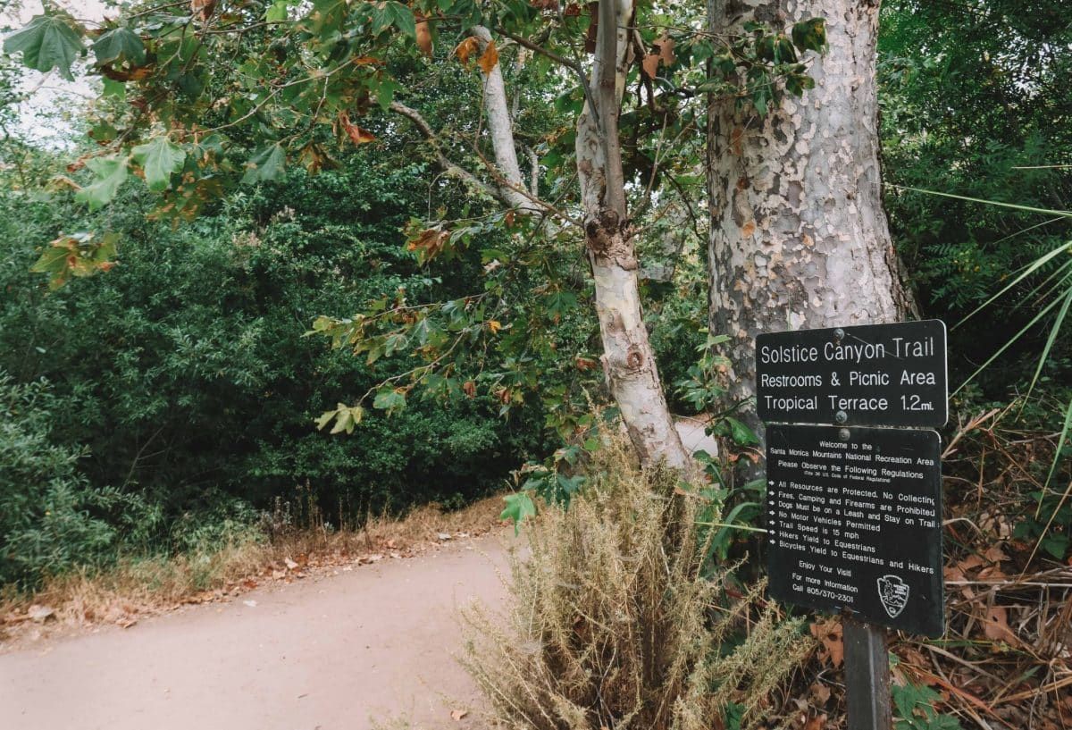
Length: 3.2 miles | Elevation Gain: 797 ft | Trail Guide | Moderate
Features: Waterfall (if it’s not too dry), creek, oldest still-standing building in Malibu, ruins.
There’s a lot to see on the Solstice Canyon Loop Trail, including abandoned ruins, natural pools, and even a hidden statue of the Virgin Mary if you can find it.
By heading out clockwise on the shady Solstice Canyon Trail and returning on the Rising Sun Trail, you’ll have views of the Pacific Ocean all the way to the parking lot.
Trust me, the stunning ocean views make the climb well worth it–you’ve got this!
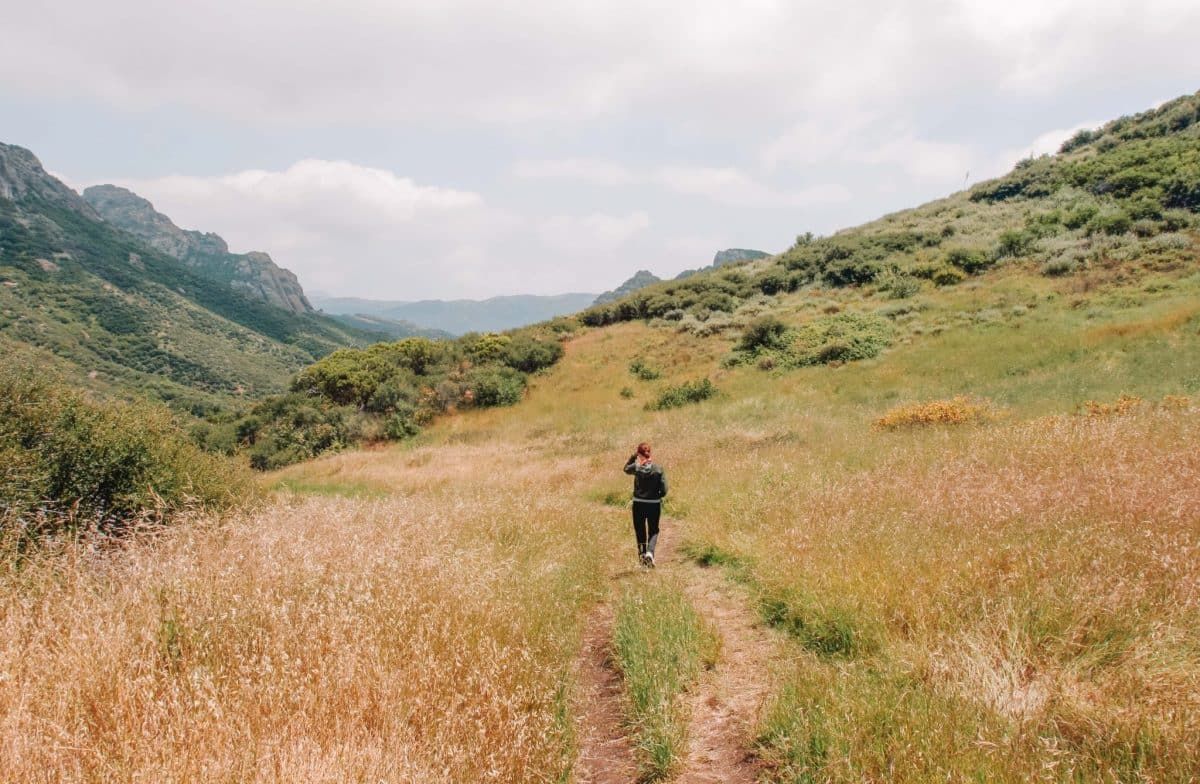
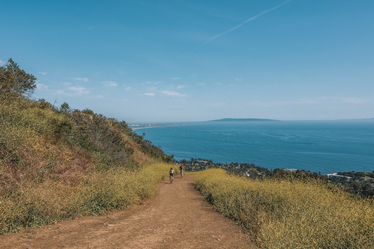
Zuma Ridge Trail
Best Hike for Trail Running
Length: 5.6 miles | Elevation Gain: 1473 ft | Trail Guide | Moderate
Features: River and great ocean views.
The Zuma Ridge Trail is a heavily trafficked out-and-back hiking trail with a steady incline.
The trail starts as a wide dirt service road that weaves through the Zuma Canyon and ventures into grassy mountain slopes.
Along the way, enjoy the panoramic views of Malibu beaches and the Pacific Ocean down below.
Local tip: I like to wear layers on this hike since there are some windy and chilly spots and you may want to cover up.
Backbone Trail to Sandstone Peak
Best Introduction to Hiking the Backbone Trail
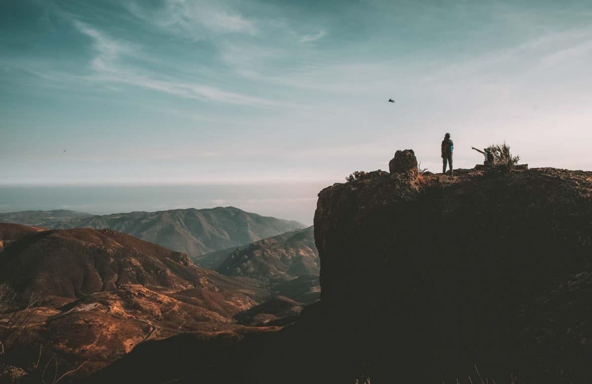
Length: 3.2 miles | Elevation Gain: 1030 ft | Trail Guide | Moderate
Features: Wildflowers, Sandstone Peak.
The entire Backbone Trail runs for 67 miles across the length of the Santa Monica Mountain Range, but this is just a 3.2-mile out-and-back portion of it.
Be sure to bring good hiking shoes or boots since this is a very rocky trail.
Also, there is ZERO shade so an early morning or evening hike is best.
Grotto Trail
Best Hike for Bouldering
Length: 2.5 miles | Elevation Gain: 561 ft. | Trail Guide | Moderate
Features: Wildflowers, Grotto, mountains, creek (if not dry).
This is one of the best moderate hikes in Malibu if you want a solid workout with a little bouldering sprinkled in.
The Grotto Trail has huge inclines and a rocky area at the end.
If you plan to dip into the small waterfall and grotto area, you’ll need to climb in through the boulders, but it’s well worth the effort on a hot day.
There’s not a lot of cell service on this hiking trail but parking is a breeze.
Topanga State Park
Parking: $10; use this app to pay for parking.
Not Dog-Friendly: Dogs are NOT allowed on the trails, fire roads, or in the backcountry. This list shows where dogs are allowed in the park.
With 36 miles of hiking trails, Topanga State Park has the bragging rights of being called “the largest state park within a city limit in the US.” It’s located entirely within the Los Angeles city limits.
Don’t miss out on the free docent-led walks every Sunday from January 1st to June 30th that leave from Trippet Ranch.
Meet in the Topanga State Park parking lot at the information kiosk by 10 am.
Temescal Canyon Trail
Best Hike with a View of LA
Length: 2.8 miles | Elevation Gain: 882 ft | Trail Guide | Moderate
Features: Waterfall, beautiful views, no bikes allowed.
Temescal Canyon Trail is a heavily trafficked loop near Pacific Palisades, California.
It’s rated as one of the best hikes in Topanga State Park because of its gorgeous views of Malibu, Santa Monica, and downtown Los Angeles.
I recommend going past the first trailhead and starting your hike on the second one to go counterclockwise on the loop.
This way you’ll have the best views on your way back downhill.
Depending on how dry the season has been you might even find a fun waterfall on this hike.
There’s a $12 parking fee but if you luck out, you might find a free parking spot on the streets nearby.
Los Leones Trail
Best Malibu Hike for Wildflowers
Length: 4.4 miles | Elevation Gain: 1190 ft | Trail Guide | Moderate
Features: Wildflowers, bird watching, beautiful views.
Another great out-and-back hike near Pacific Palisades, is the Los Leones Trail. This trail is a bit narrow and can definitely feel crowded at times.
The first 2.5 miles are a tough uphill climb that will leave your quads stinging, but the scenery is spectacular.
Make sure to stop at Parker Mesa Overlook for a little added distance and enjoy the rewarding views of the DTLA skyline.
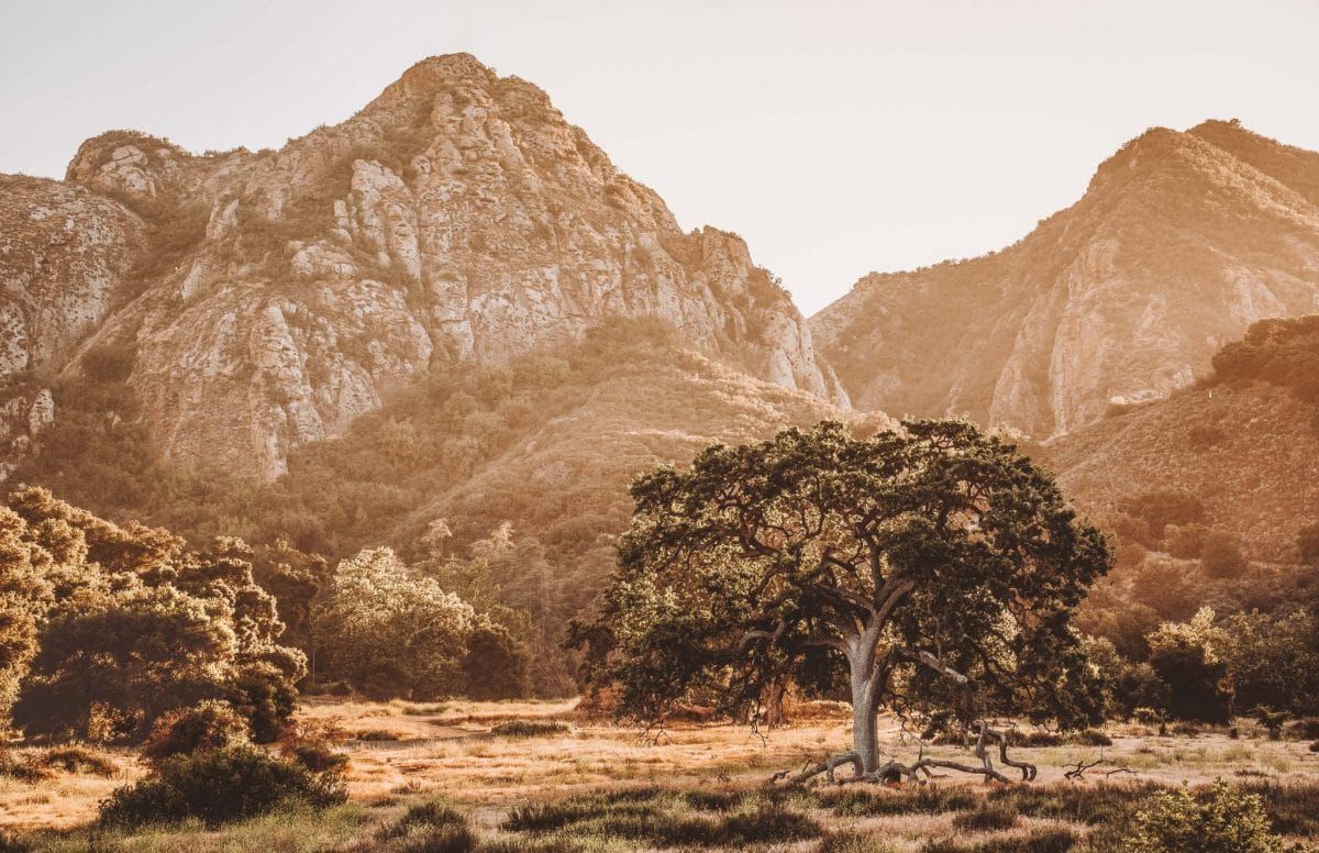
Malibu Creek State Park
Parking: All-day parking for $12.00 or $3/hour.
Not Dog-Friendly: Dogs are only allowed in the parking lots and campground areas.
Just 30 minutes away from LA, you’ll find the 8,000-acre Malibu Creek State Park.
Sometimes referred to as “The Yosemite of Southern California”, it’s easily one of the best places to visit in Malibu.
Below are the best hikes in Malibu Creek State Park that you shouldn’t miss.
Check the park website for information on kayaking, rock climbing, horseback riding, and more fun activities.
Rock Pool and Century Lake Trail
Best Malibu Hike for Film Buffs
Length: 4.4 miles | Elevation Gain: 331 ft | Trail Guide | Easy
Features: Horseback riding, lake, rock climbing, M.A.S.H. site, picnic site.
The Rock Pool and Century Lake Trail is one of the most accessible hikes in Malibu.
It’s a heavily trafficked out-and-back trail featuring a lake and is an easy family-friendly hike.
Enjoy your walk down a shaded path to get to the Rock Pool area.
Rock climbers can pause at the Planet of the Apes wall to climb or boulder and live out their movie star dreams.
If you want to get some extra steps in, continue past Century Lake, to the old M.A.S.H. site from the popular TV show.
Local tip: The path around the lake isn’t a full loop. You’ll have to turn back near the dam area.
Malibu Lake Vista Trail
Best Trail with Lake Views
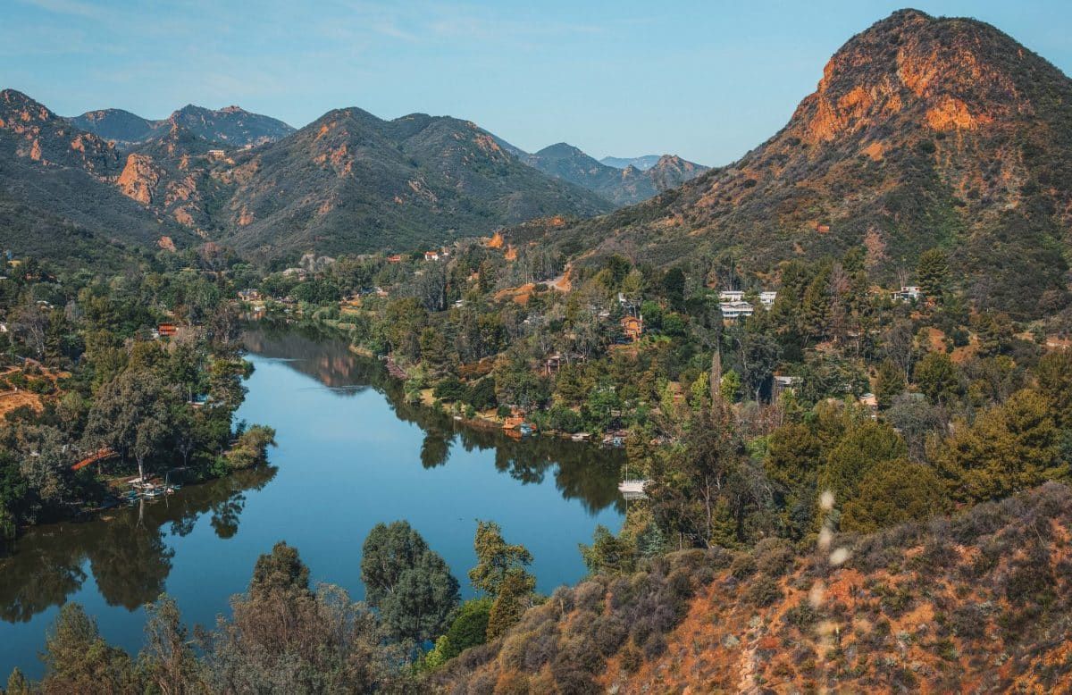
Length: 1.1 miles | Elevation Gain: 302 ft | Trail Guide | Difficult
Features: Hiking and horseback riding.
As the name suggests, the Malibu Lake Vista Trail has stunning views of Malibu Lake.
It can be accessed from the historic Reagan Ranch staging area in Malibu Creek State Park.
This is an out-and-back trail, but you can easily link it with the Yearling Trail for a full loop.
Other Hikes to do in Malibu
Ocean Overlook Loop Trail
Best Malibu Hike with Ocean Views
Length: 2.6 miles | Elevation Gain: 462 ft | Trail Guide | Easy
Features: Wildflowers, spectacular ocean views.
The name says it all, the Ocean Overlook Loop Trail has some of the best views of the Pacific Coast in Malibu.
This family-friendly trail is a mostly flat hike in the 532-acre Charmlee Wilderness Park.
The area was devastated by wildfires not that long ago so there’s not much shade.
With that said, it’s hopeful to see green sprouting through and nature showing its resilience.
There‘s a $4.00 parking fee at Charmlee Wilderness Park, but if you’re early, there are 4-5 free street parking spots available.
Tuna Canyon Trails
Best Sunset Hike in Malibu
Length: 3.8 miles | Elevation Gain: 652 ft | Trail Guide | Moderate
Features: Wildflowers, Meditation Circle, spectacular ocean views.
This out-and-back hike is a popular family-friendly walk near Topanga, California in the gorgeous 1250-acre Tuna Canyon Park.
It’s 1.6 miles round trip from the east-facing Hearst Tank Motorway and 3.8 miles roundtrip from the Big Rock Lateral west-facing viewpoint.
If you combine them both, you can make it a five-mile hike.
Go early and find your zen at the Meditation Circle, which is a rock labyrinth created by locals, and the ocean views are jaw-dropping.
Make sure to watch a mesmerizing sunset at the Big Rock Lateral viewpoint before heading back.
Escondido Falls Trail
Best Waterfall Hike in Malibu
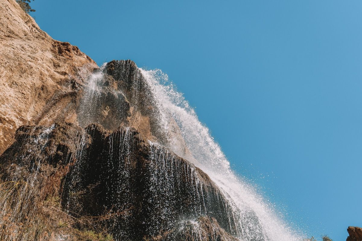
Length: 3.7 miles | Elevation Gain: 626 ft | Trail Guide | Easy
Features: Waterfall, bird watching, river.
The Escondido Falls Trail is one of the most popular hiking trails located near Malibu, California in Escondido Canyon Park.
It’s an out-and-back shady trail suitable for the entire family. The parking lot fee is $12, so arrive early for the free street parking.
The first part of the hike actually goes through a residential area that eventually reaches a two-tiered 150-foot waterfall.
At points, you’ll be on a rocky trail so they have ropes in place to help you get through the uneven footing safely.
Local tip: If you’re visiting during the dry season, the waterfall can be a tad underwhelming.
Calabasas Peak Trail
Best Malibu Hiking Trail to See Rock Formations
Length: 3.7 miles | Elevation Gain: 964 ft. | Trail Guide | Moderate
Features: Rock formations, bird watching, access to Red Rock Canyon.
The Calabasas Peak Trail is an out-and-back trail located in the Stunt Ranch Santa Monica Mountains Reserve.
You can expect a moderate and steady uphill climb for the two miles to Calabasas Peak.
Along the way, you’ll be surrounded by beautiful mountains and cool rock formations.
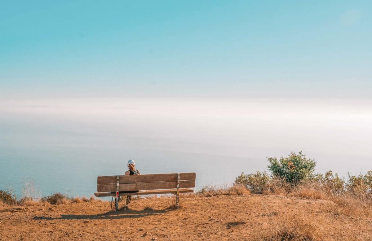
Lengthen your hike by turning right at the bench and venturing into Red Rock Canyon.
Local tip: The best time to hike here is from March – October.
Mugu Peak Trail
Steepest Hiking Trail in Malibu
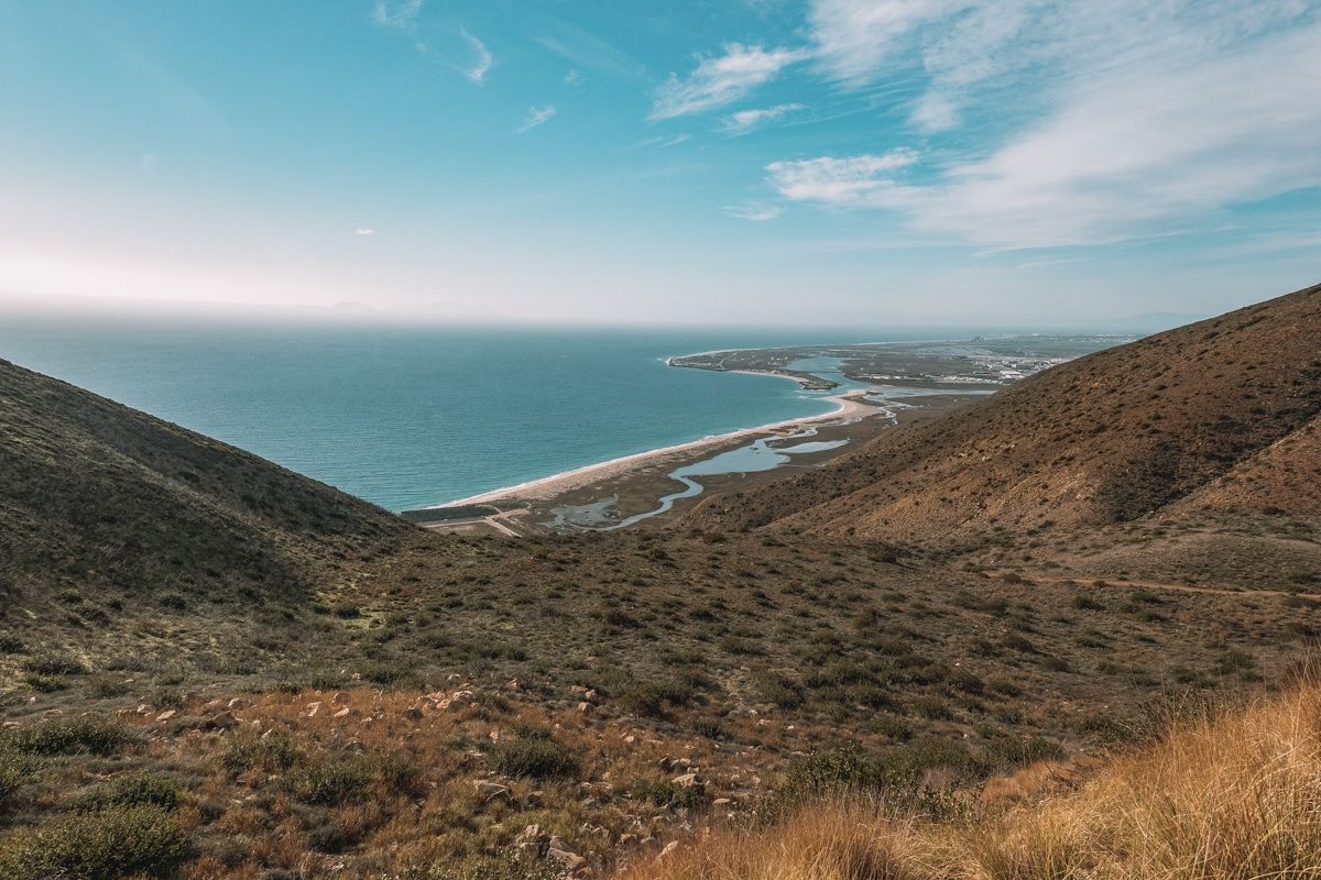
Length: 2.7 miles | Elevation Gain: 1,246 ft | Trail Guide | Hard
Features: Ocean views, steep incline, rock scramble
Note: The Sycamore Canyon entrance to Point Mugu State Park will be closed from February 21 to March 10, 2023 while the road is being paved. Mugu Point trail will still be open and accessible by parking in the La Jolla Canyon parking lot and heading out on the Ray Miller Trail.
If you’re looking for a challenge, head to Point Mugu State Park. There, you’ll find Mugu Peak Trail, a 2.7-mile loop trail that will kick your ass.
There’s a rather tricky 1,246 ft incline that calls for good shoes and hiking poles.
You’re going to be sore the next day, but those ocean views at the peak are definitely worth every second of pain.
If you’re on the hunt for more of the steepest hiking trails in Malibu, also check out Los Leones Trail above.
Local tip: The views make this one of the most beautiful hikes in Malibu, but don’t try this hike unless you’re sure-footed. The rocky footing on the way up and down has caused many a sprained ankle.
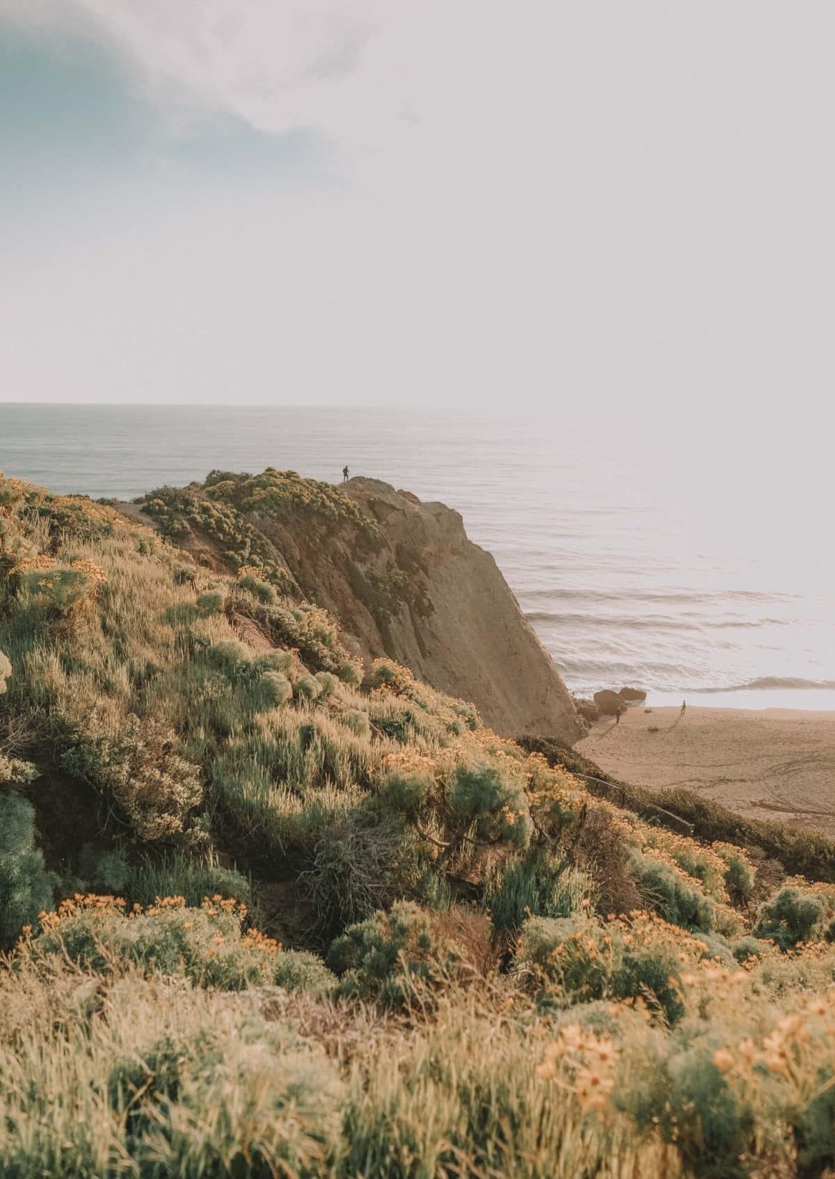
Point Dume Cove Trail
Best Malibu Beach Hike
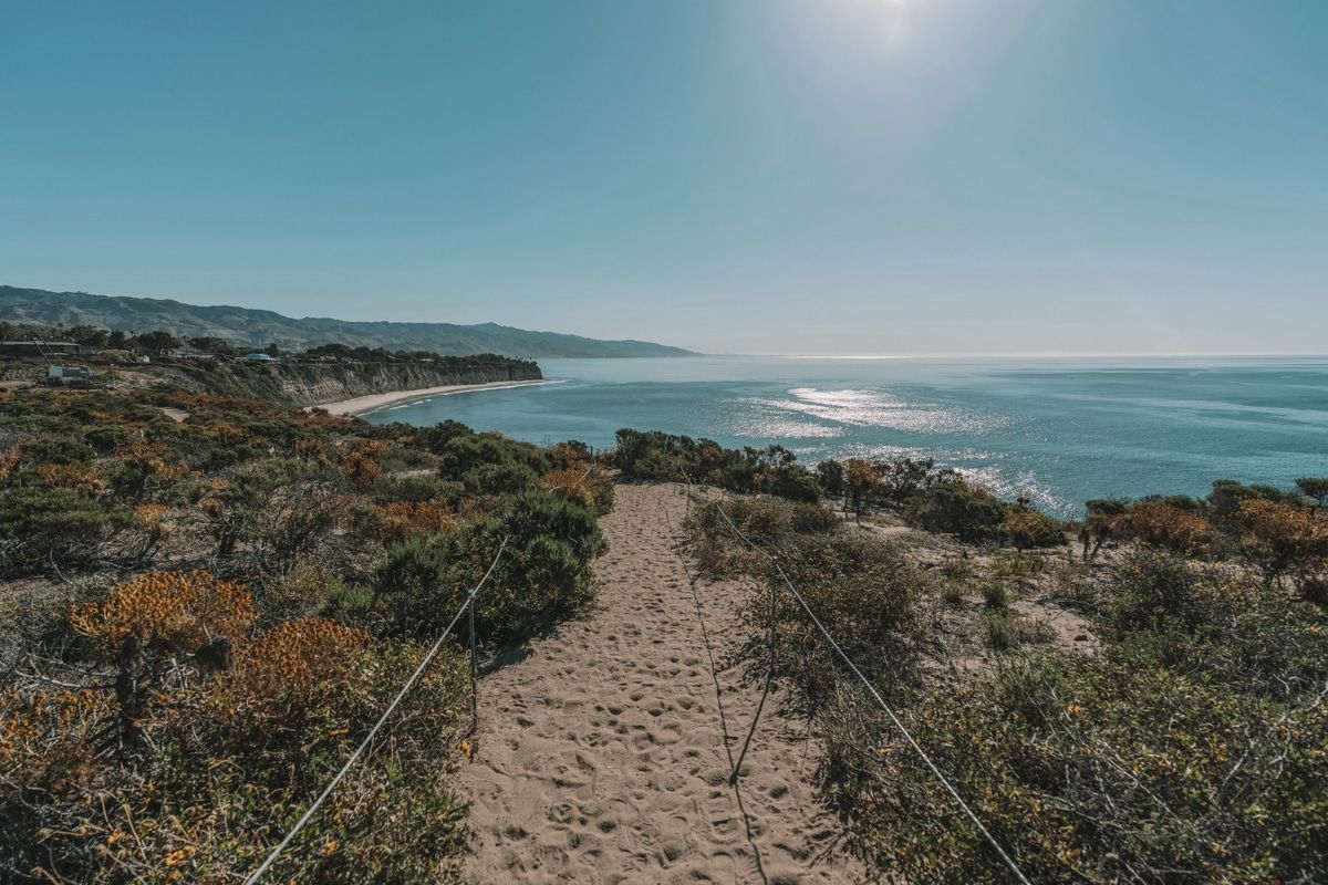
Length: 1.4 miles | Elevation Gain: 347 ft | Trail Guide | Easy
Features: Grey whale watching, beach, swimming, bird watching, ocean views.
Dumes day can be a good day if you’re hiking at Point Dume State Park—too cheesy? Well, it’s true.
Situated at the corner of Westward Beach and Dume Cove, the Point Dume Cove trail is one of the best coastal hikes in Malibu.
Wander up the hill for one of the best viewpoints along the Pacific Coast Highway.
Then, investigate the tide pools, surf, scuba dive, or just relax on the beach with a good book.
Local tip: Bring your binoculars for grey whale spotting from December to mid-April.
Corral Canyon Loop Trail
Closest Hike to a Restaurant
Length: 2.3 miles | Elevation Gain: 531 ft | Trail Guide | Moderate
Features: River, wildflowers, bird watching, beach, restaurant, ocean views.
Corral Canyon Loop Trail is located just off of the Pacific Coast Highway, in Corral Canyon Park, and is another one of the best hiking trails in Malibu.
The trail is a little rocky and narrow, so it’s not optimal for trail runners. I also recommend wearing pants to protect your legs from the overgrown brush.
Start on the far left trail and you’ll enjoy panoramic ocean views as you climb higher.
After the hike, you can re-energize at Malibu Seafood, which shares a parking lot with the trailhead.
Tips for Hiking in Malibu
- The sun is hotter than you think – Some of the best hikes in the Malibu area aren’t shaded. Bring breathable layers, wear a hat and sunglasses, and lather up with sunscreen.
- Bring a lot of water and then pack even more – Carry at least one liter of water for every two hours of hiking. Bring more if it’s extra hot or if you take your pup.
- Be prepared to run into wildlife – Although this is usually nothing to worry about, here are some tips for hiking and wildlife:
- Be aware of your surroundings, and don’t hike after dark.
- If you see rattlesnakes sunning themselves on the trail, keep your distance and let them slither away.
- Stay on the marked trails to avoid encountering ticks that like to live in shaded, grassy areas. Check yourself and your dog for ticks after your hike.
- If you encounter a coyote or mountain lion, back away slowly but don’t EVER turn your back or run.
- Book a guided hiking tour if you aren’t comfortable hiking on your own – Book a group tour led by local guides, or if you’re looking for something unique, check out this wine hike.
- Avoid touching Pacific Poison Oak – Poison Oak, which causes an itchy rash, has three leaves that grow left than right of the main branch. It can grow as a vine, shrub, or climbing vine.
- Know the rules of the trail – Some of the best hiking trails in Malibu can be pretty narrow. As a rule of thumb, equestrians have the primary right of way, hikers next, and then mountain bikers.
- Fire safety is crucial – Please be ultra-sensitive to the dry conditions in California and don’t smoke or do anything that could spark a disastrous fire. We already have our fair share of wildfires every year.
Looking for other California hikes? Check out our guides to the Trans-Catalina Trail, best Bay Area hikes, Catalina Island hiking, Berkeley Fire Trails, best hikes in Laguna Beach, best hikes in Orange County, best Santa Cruz hikes, best Torrey Pines hikes, best Big Basin hikes, best hikes in San Francisco, best San Jose hikes, best Joshua Tree hikes, best Big Sur hikes, best Lake Tahoe hikes, best hikes in Sequoia and Kings Canyon National Parks, and best Big Bear hikes.

Get your FREE California Travel Planner – including printable checklists and my favorite two-week itinerary for the state.
ABOUT THE AUTHOR

Rosie Queen
Rosie Queen is a travel blogger and creative writer who grew up on the South Side of Chicago. Since moving to Huntington Beach in 2019, she has been exploring every nook of Southern California and beyond with her adventure-seeking husband and adorable Golden Doodle, Indy. She’s obsessed with her dogs, color guard/marching band, national parks, and road trips.
Looking for more Southern California travel inspiration? Check out these related articles below!
How to Get to the Hollywood Sign
Best Things to do in Long Beach
Best Things to do in Orange County
The Perfect Catalina Island Day Trip
Most Beautiful & Best Beaches in Laguna Beach

Pin this image for future reference

