Explore Oakland’s extinct volcano at the Sibley Volcanic Regional Preserve. This guide gives you everything you need to get the most out of your visit.
Tucked away in the Berkeley Hills, you’ll find Sibley Volcanic Regional Preserve.
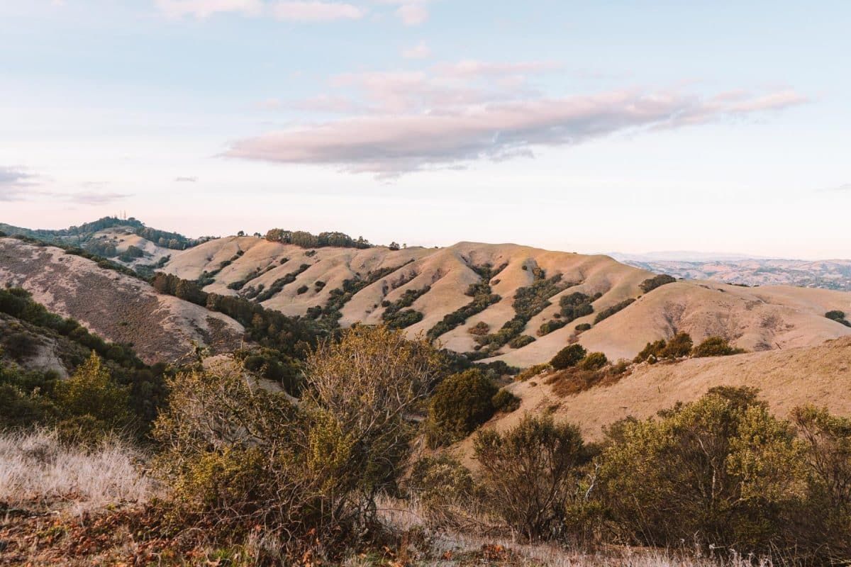
This is one of the East Bay’s most unique regional parks with features like an extinct volcano, labyrinths, and open hills to explore throughout its 929 acres.
In this guide, you’ll get the full rundown of how to get the most of this park, including a look at its 10 million-year-old history, the best hike to see the most sights, and what to know before you go.
Practical Info
Address: 6800 Skyline Blvd, Oakland, CA 94611
Phone: (888) 327-2757, option 3, extension 4554
Hours: 5 am – 10 pm
Restrooms: Yes, near the visitor center
Dog-Friendly: Yes, on a leash. The only place dogs aren’t allowed are on the Huckleberry trails.
Accessibility: There are a few different paved roads throughout the park, including Round Top Road (that takes you to the top of Round Top), a paved road near the Visitor Center that takes you to a viewpoint, and Quarry Road (starting from Old Tunnel Road).
Get your FREE California Travel Planner – including printable checklists and my favorite two-week itinerary for the state.
Quick History of Sibley Volcanic Regional Preserve
10 million years ago, Round Top Volcano used to sit at the peak of where Sibley Volcanic Regional Park resides now. Due to this being prime earthquake territory, earthquakes and local fault lines in the area eventually created the Berkeley Hills.
Over time, these destroyed the Round Top Volcano and made it extinct by flipping it on its side. Today, you can still see the remnants of the volcano all over the park with lava rock and volcanic debris.
In terms of the park’s more recent history, Sibley Volcanic Regional Preserve was established in 1936 as one of the first East Bay Regional Parks (along with Temescal and Tilden).
Once called Round Top Park, its name was changed to “Sibley” in 1972 in honor of Robert Sibley who helped found the East Bay Regional Park District.
Why It’s Worth a Visit
It’s not every day that you get to see an extinct volcano in your backyard. Sibley Volcanic Regional Preserve is unique in that there are millions of years of geological history to discover at the park with its self-guided tour.
Sibley Volcanic Regional Preserve also features expansive views and a landscape that’s much different from any other East Bay Regional Park.
And even though it’s in Oakland, it rarely feels crowded because it’s such an open park with a lot of different crisscrossing trails.
Things Not to Miss
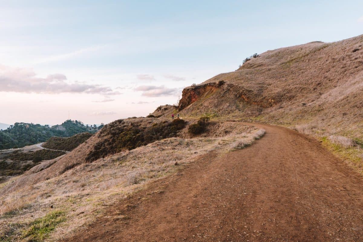
- Round Top – The highest point in the park at 1,761 feet that lets you stand on an extinct volcano. Plus, this spot gives you panoramic views.
- Sibley Labyrinths – The park has started becoming more popular on Instagram due to the man-made labyrinths that have popped up around Sibley. Most of these can be found off the Quarry Trail. You can see the Mazzariello labyrinth from Round Top as well.
- Wildflowers – In the springtime, the hills at Sibley are filled with colorful wildflowers, which take the park scenery up another notch.
What to Know Before You Go
- There’s very little shade on the trails – Sibley Volcanic Regional Preserve is an open park with few trees and not much shade. Make sure to bring a hat, sunscreen, and plenty of water.
- Be prepared for multi-use trails – Most trails can be used by hikers and equestrians, so watch out for horse poop! This isn’t a super bike-friendly park, but bikes are allowed on Skyline Trail, paved roads, and wider fire trails.
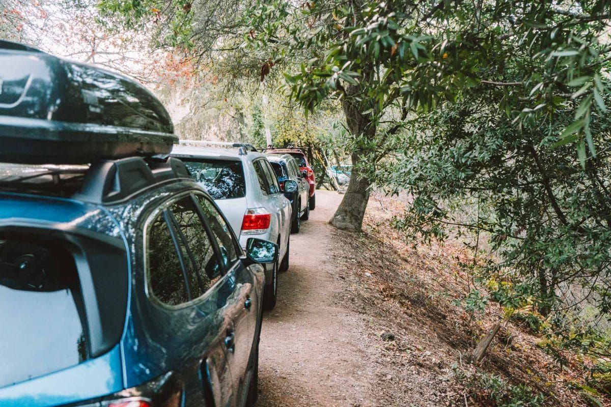
- Don’t leave valuables in your car – There are sometimes break-ins along Skyline Blvd, so don’t leave anything valuable in your car or a bunch of stuff on your car seats that someone might want to search through.
How to Get There & Parking
Sibley Regional Preserve is located in the Berkeley Hills in both Contra Costa County and Alameda County. There are two entrances to the park – the Old Tunnel Road Staging Area and Skyline Boulevard Staging Area.
The Skyline Boulevard entrance is the more popular one, but the Old Tunnel Road entrance is a good alternative if you’re looking for a different perspective of the park or you can’t find parking.
The easiest way to get to Sibley Volcanic Regional Preserve is to drive and park along Skyline Boulevard or Old Tunnel Road, depending on which entrance you’re heading to. Parking is free at both spots.
If you want to take public transit, take bus #305 from Montclair Transit Center to the intersection of Colton Boulevard and Ridgewood Drive.
It’s about a mile walk from there to the Skyline Blvd Staging Area. Just note that bus #305 only runs on Tuesdays and Thursdays from mid-morning to mid-afternoon.
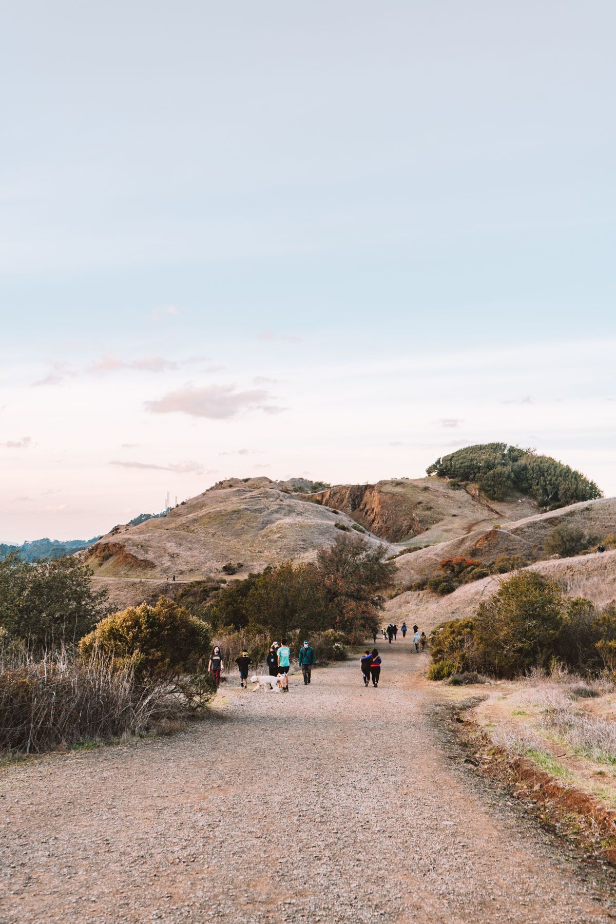
Sibley Volcanic Loop/Round Top Loop: The Best Hiking Trail to See Most of the Park
Miles: 3.5 miles
Elevation Gain: 571 ft
Type of Trail: Loop
Highlights: Partially paved, good views, volcanic history, wildflowers (in the spring)
Trailhead: Start at the unstaffed visitor center at the Skyline Blvd Staging Area

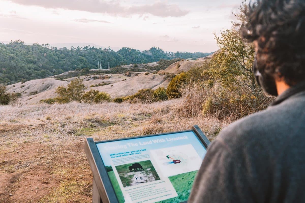
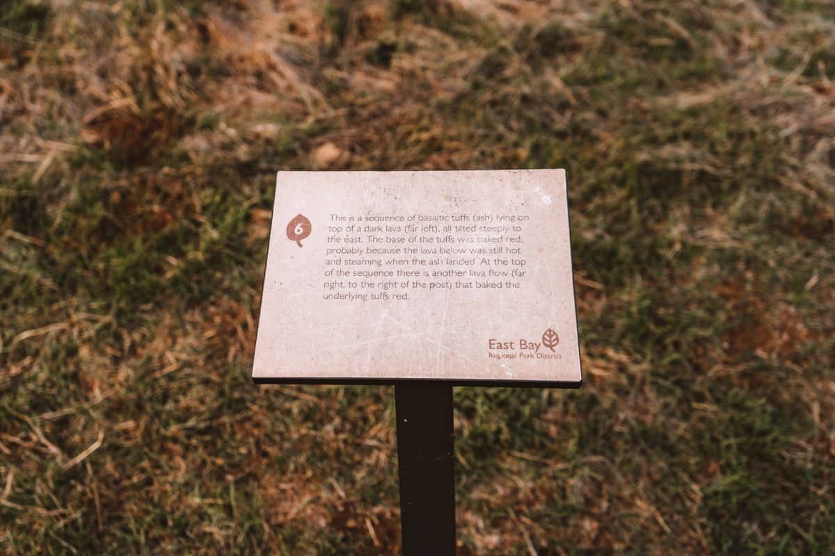
Start at the Skyline Boulevard Staging Area visitor center, where you can get a quick intro to the park with the displays that talk about Sibley Volcanic Regional Preserve’s geological history.
Also, make sure to grab a free brochure for the self-guided volcanic walking tour that takes you around to the park’s most interesting features.
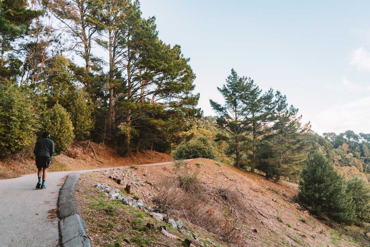
From the visitor center, you’ll start on the paved Overlook Trail to the left. Go past trail marker #1 until you reach marker #2, where you’ll head left to get on the Round Top Loop Trail.
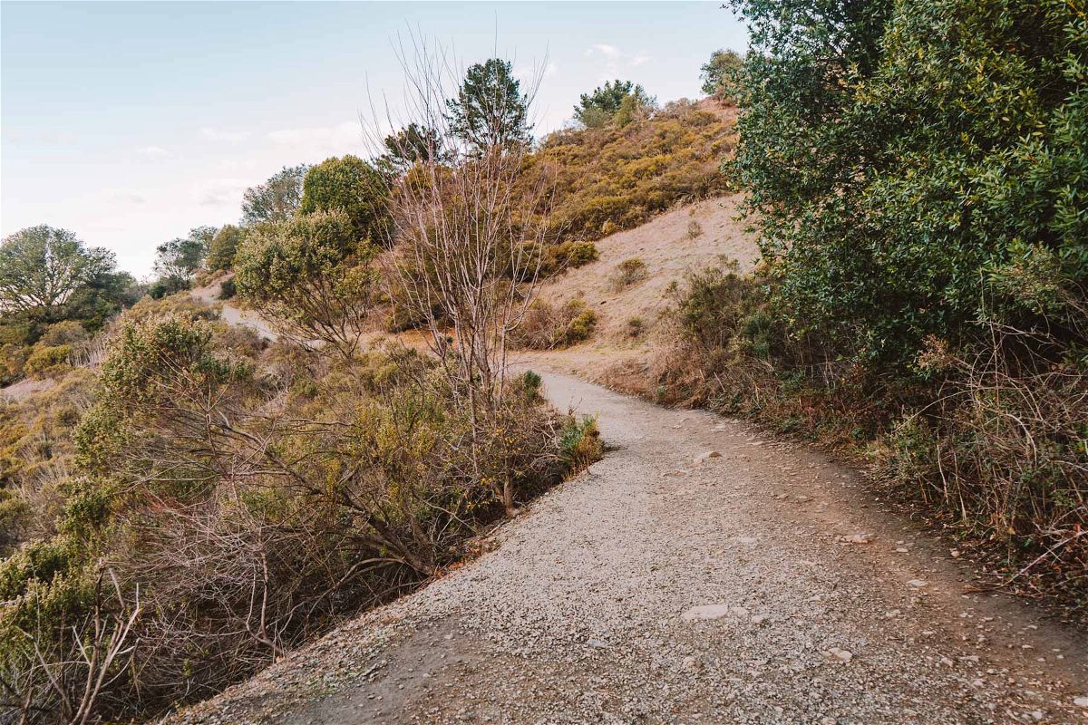
There are a bunch of different small intertwining trails around this part of the hike, so don’t worry too much if you go off the correct trail for a bit.
Just aim to get on the Round Top Loop Trail within the first half mile and follow the self-guided brochure to look for markers.
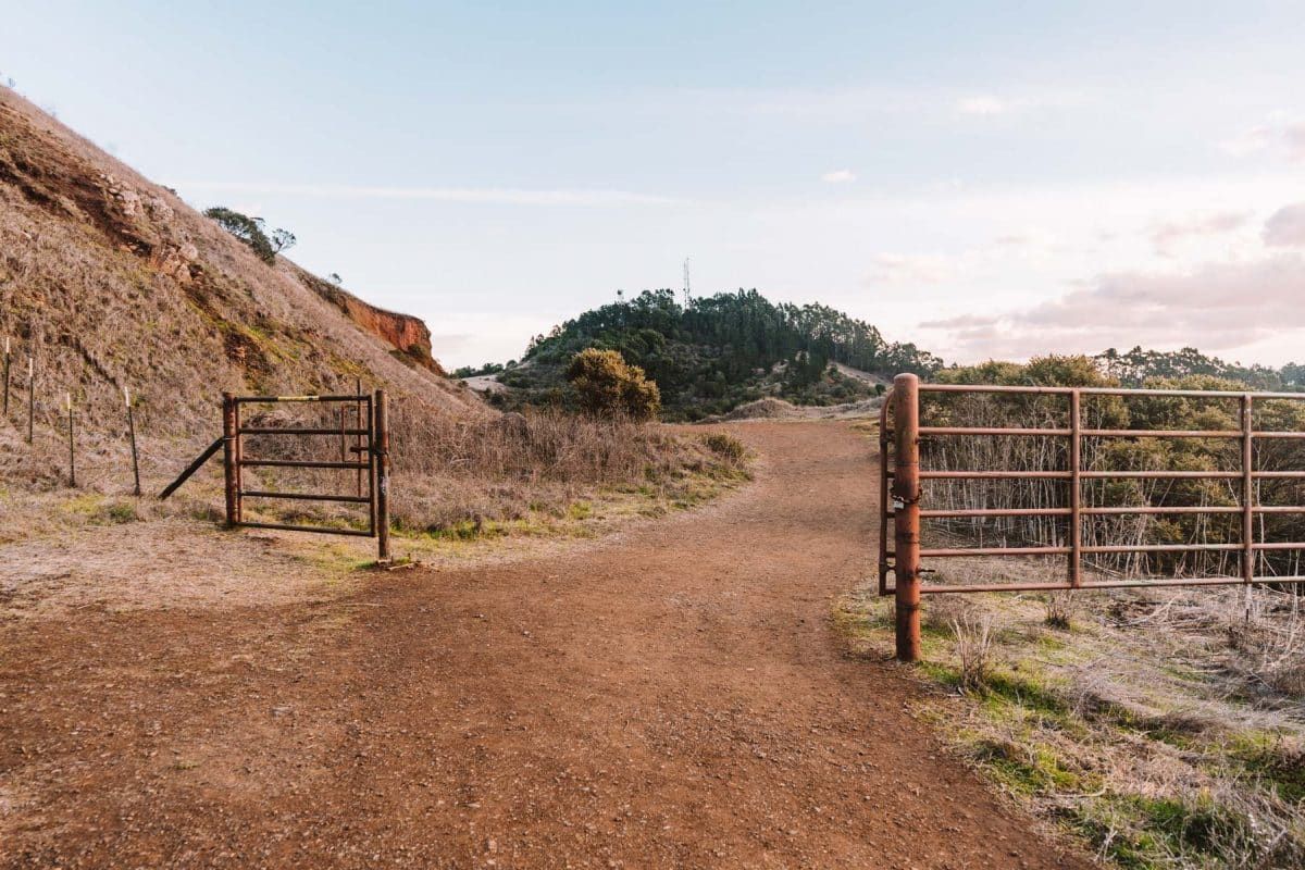
Next, you’ll want to follow the signs that direct you towards the Volcanic Trail. For now, you’ll stay on the Round Top Loop Trail and continue through the gate.
In another half mile, you’ll come across a fork in the trail. Go left to get onto the Volcanic Trail and pass by marker #3.
At the next fork, you’ll make a right to go uphill. Walk through trail markers #5-11 on this stretch of the trail.
After trail marker #11, you’ll come across another fork. Make a left to stay on the Volcanic Trail until you get to the paved Quarry Road, where you’ll make another left.

Stay on this paved road for about half a mile until you get to a gate. Stay left again and make another left through a second gate to get on Skyline Trail.
This is where the scenery really changes and becomes a dense and shady forest instead of open hills.
Follow the Skyline Trail back to the visitor center at the Skyline Staging Area for just under a mile. It’s a somewhat steep climb at the end, but nothing too crazy.
Another thing to note is although this is the baseline trail to follow to see a bunch of sights around the park, there are a lot of side trails throughout this route.
Since this is already a fairly short hike, don’t be afraid to make a few detours to take in more markers or unique landscapes as you go.
Get your FREE California Travel Planner – including printable checklists and my favorite two-week itinerary for the state.
ABOUT THE AUTHOR

Mimi McFadden
Founder & Editor-In-Chief
Mimi McFadden initially started The Atlas Heart in 2013 to write about her adventures abroad. But since 2019, The Atlas Heart has become a love letter to the Golden State. Mimi enjoys sharing her first-hand knowledge and expertise with the places she knows so well and making the most comprehensive travel guides possible. When she’s not hiking and exploring new places in California, she loves to travel abroad, read in her cozy chaise lounge, play basketball, and connect with friends and family over board games. Over her 28 years in California, she has lived in Santa Cruz (18 years), San Diego (5 years), and the San Francisco Bay Area (5 years), where she currently resides.
Looking for more hiking guides? Check out these related posts below!
Berkeley Fire Trails: Hiking Guide
Pinnacles National Park: What to Know Before You Go
Best Weekend Trips From San Francisco

Pin this image for future reference

