Short on time? Our pick for the best hiking app is AllTrails.
The best hiking apps for every activity, skill level, and budget, so you can track where you are no matter how off the grid you go.
Have you ever been lost in the woods, even for a few minutes?
If you have, you know that sinking, panicky feeling in the pit of your stomach is not fun nor helpful when you’re trying to think clearly.
Or maybe you’ve never been lost, but you want to discover a new hiking trail in your area.
Or perhaps you just want a way to document your hiking stats, measure your heart rate, and share videos of your hike with your friends.
Well, no matter your situation, there’s a hiking app out there with your exact purpose in mind!
Technology has advanced so much, even in the last ten years, and there are more ways to be safer and have more fun outdoors than ever before.
Whether you’re a new hiker trying to be safe outdoors, a bored outdoorsman looking for a new trail, or an experienced backpacker blazing new trails, you can benefit from a hiking app.
Below, I’ll share the best hiking apps on the market, how much they cost (lots of them are free!), and their best use.
Benefits of Downloading a Hiking App
Not everyone needs a hiking app to enjoy the outdoors safely, but apps still have several benefits that anyone can use to enhance their outdoor experience.

Never Get Lost
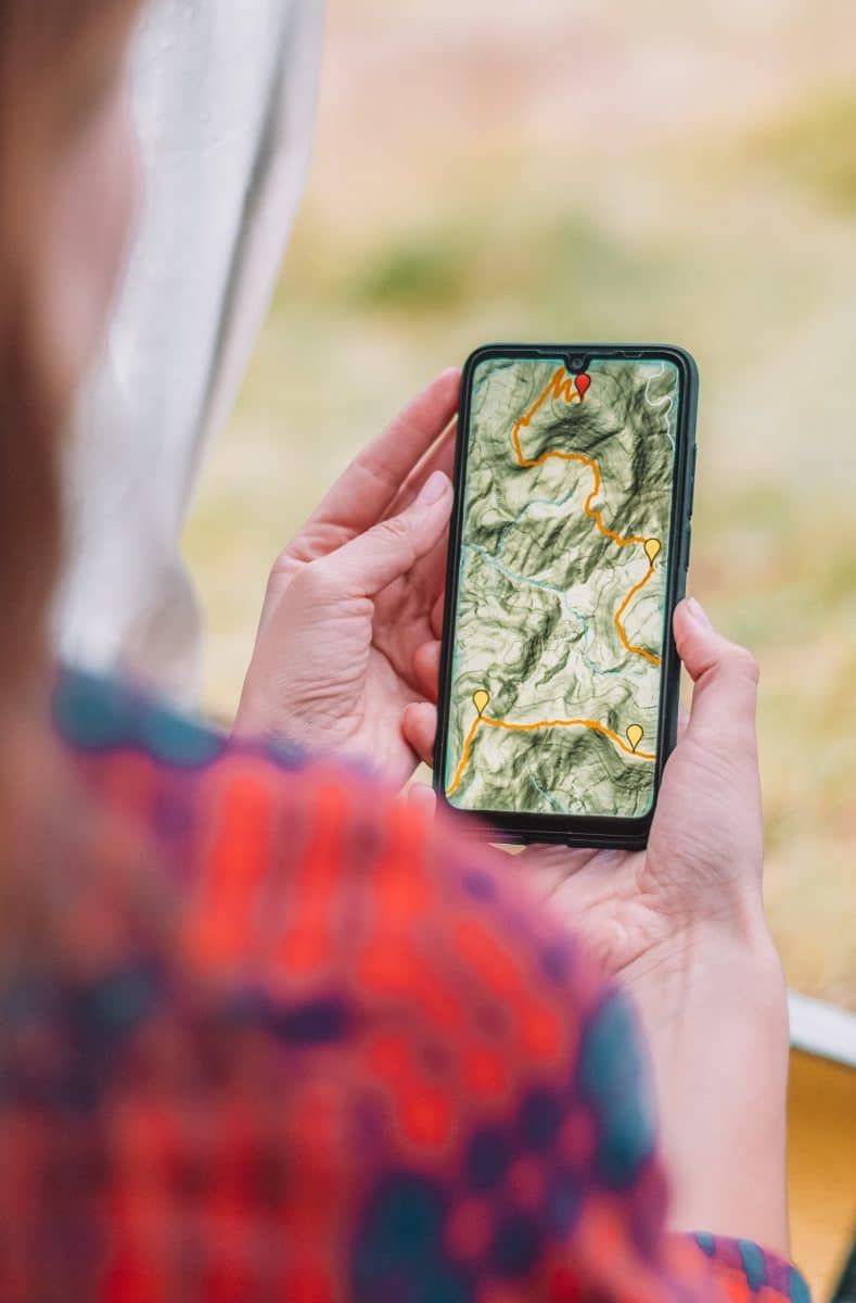
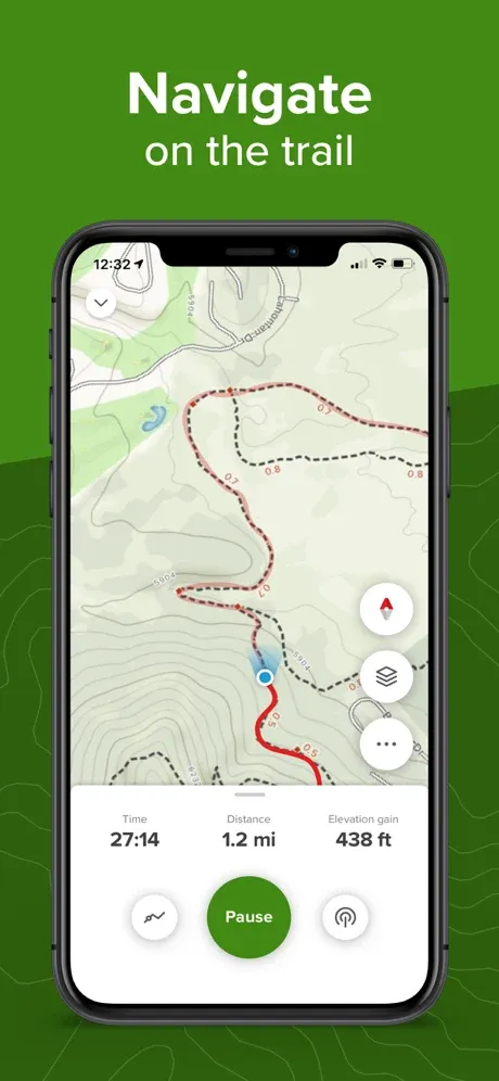
One of the clear benefits of downloading a hiking app is that the chances you’ll get lost are much, much smaller.
Not only will you be able to track where you are on a map, but you might also be able to help other hikers (without hiking apps) figure out where they are.
Learn More About the Trail
Some apps have additional education about the trail or area you’re hiking, so they act as a mobile way-point sign.
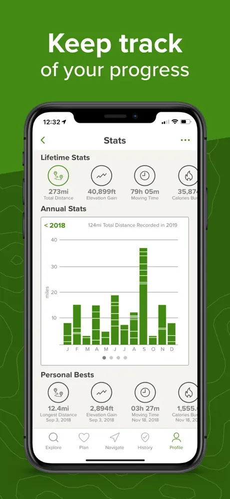
Track Your Adventures
Using a hiking app that logs your miles is also a great way to record your adventures and find new trails.
Maybe you’ve just started a fitness journey, and you want to see how far you’ve come (literally and figuratively).
Or maybe you’re a peak-bagger who wants to climb 30 mountains in the year you turn 30. Whatever your goals are, a hiking app is a great way to mark your progress.
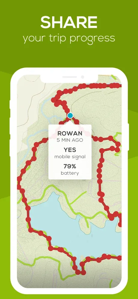
Share Your Location
Many hiking apps offer some kind of personal location feature, meaning you can share your location with other people using the app or those who you designate as an emergency contact.
That way, if something happens that prevents you from getting out of the backcountry, your contacts will have your location.
Some apps even have a messaging feature that allows you to check in with your emergency contacts in case of an emergency.
Find Community
Hiking is fun but often even more fun with friends. Many apps have large communities you can connect with to exchange trail information or find a new hiking buddy.
Or, maybe you have a hiking group already, but you want to share your backcountry locations and routes with one another.
Either way, a hiking app is a great way to coordinate with a group (aka have more fun and reduce stress) on a hiking trip.
What to Look for in a Good Hiking App
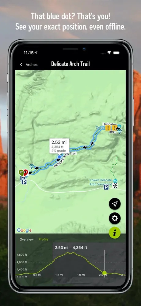
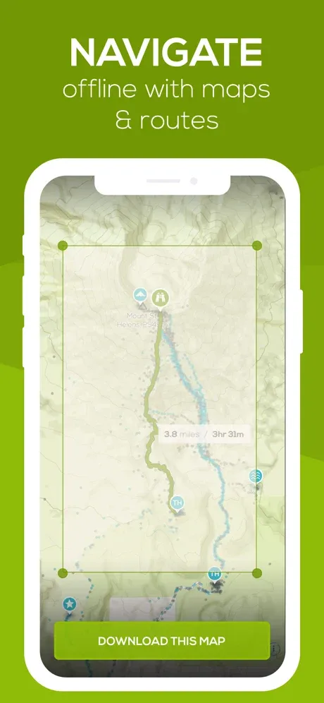
There’s one feature I always look for in a good hiking app: the ability to work offline. After all, most of your hiking will likely take place where cell service is shoddy at best.
After that, the best hiking apps cater to the activities you like to do most.
Whether it’s the best GPS for walking around backcountry areas or the best hiking app for an Apple Watch or Garmin watch, look for features that cater to your interests.
Drawbacks of Hiking Apps
Even the best hiking apps have some drawbacks – namely, your cell phone must be working for it to work. If you run out of battery or drop your phone off a cliff, a hiking app does you no good.
So while I advocate for using a good outdoor GPS app, I also strongly encourage every outdoor enthusiast to come prepared with a good ol’ paper map too (and maybe even a backup handheld GPS device).
Best Free Hiking Apps
There are many hiking apps on the market, but these are my choices for the top free hiking apps.
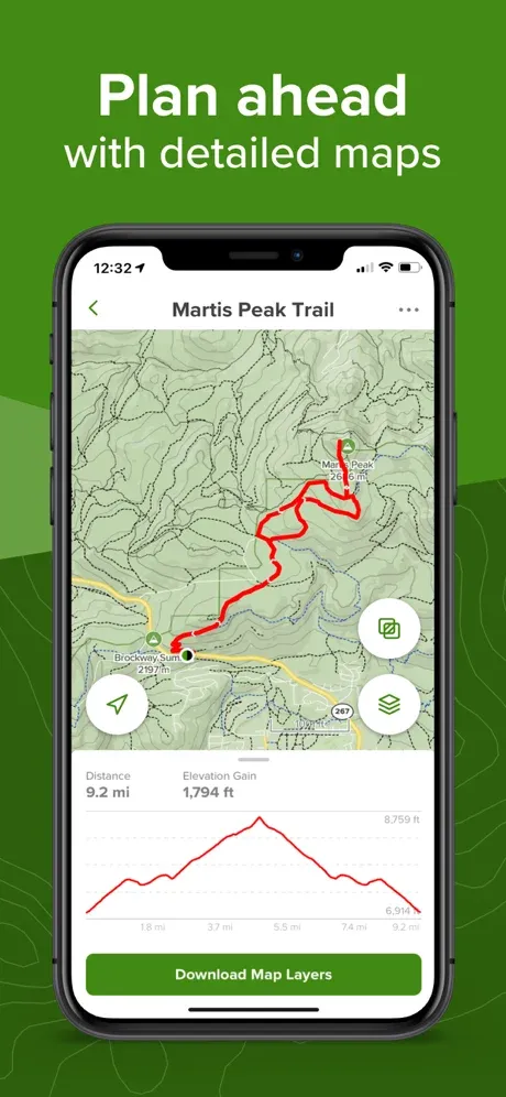
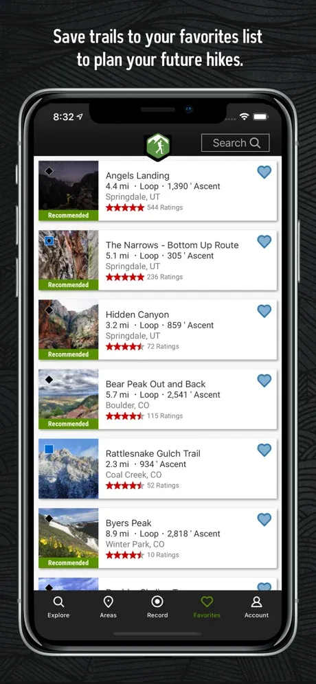
All Trails
Best for: Multi-adventure use
Free version: Yes
Pro version: Yes, $29.99/year
Compatible with: IOS/Android (IOS version here or Android version here)
Unique features: Pro version will give you an alert if you go off your trail
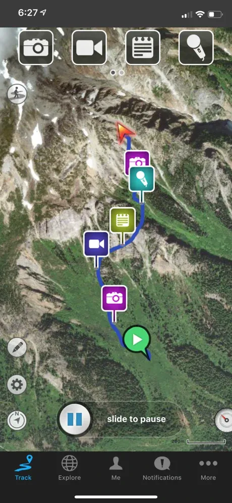
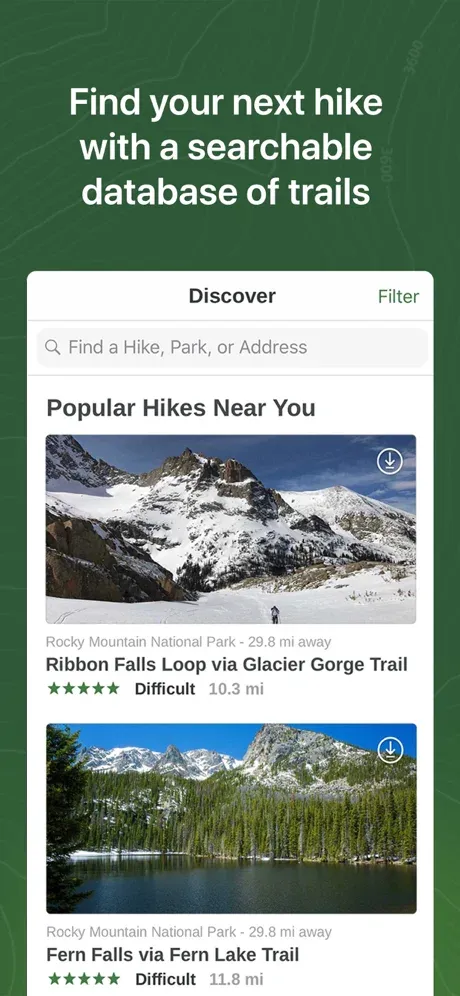
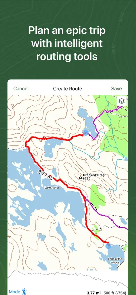
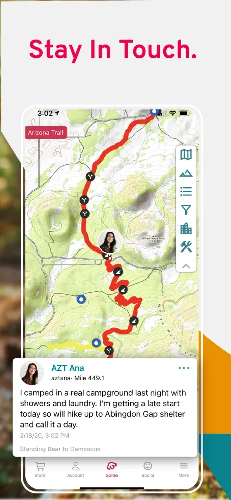
With 200,000 miles of trails recorded, AllTrails is one of the most popular hiking apps because it has features that allow you to use it for all kinds of adventures.
Yes, you can use it to navigate a trail, but you can also find running routes based on city location, mountain biking maps, and trails that are dog-friendly.
I also appreciate AllTrail’s efforts to expand access to differently-abled people.
They have a feature to find wheelchair-accessible routes, and they give 1% of their profits to 1% For the Planet.
I would already rate AllTrails as perhaps the best free trail app, but their pro version takes usefulness to the next level.
Their pro version allows you to download maps and use them while you’re offline and includes a safety feature called Lifeline.
Lifeline will alert your designated emergency contacts if you don’t end your hike at the expected time and will send your last known location to your emergency contacts as well.
The Hiking Project
Best for: Finding a hike everyone can agree on
Free version: Yes
Pro version: No
Compatible with: IOS/Android (Download Android version or iPhone version)
Unique features: Features international hikes
The Hiking Project is more of a typical hiking app in that it features primarily non-paved hikes.
For this reason, I rate it as one of the best backpacking apps, and with over 250,000 miles of trails, you definitely won’t run out of adventures to plan.
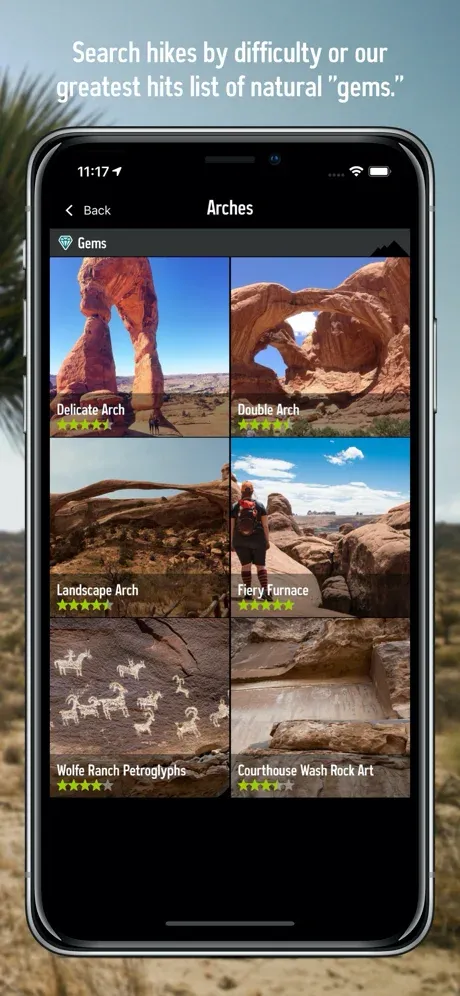
The app features hikes by state or by country and includes recommended hikes that other people have done and liked.
You can also filter the type of hike you want to do by difficulty, trail type, elevation, distance, and more, which makes finding a hike everyone will like very easy.
The Hiking Project app is completely free and will show you your GPS location even while offline, which I really like.
National Park Trail Guide
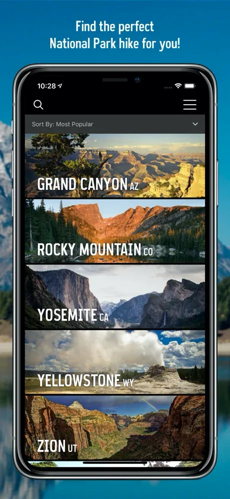
Best for: Hiking in National Parks
Free version: Yes
Pro version: No
Compatible with: IOS/Android (Download Android version or iPhone version)
Unique features: Has tips on camping, permits, and food storage
The National Park Trail Guide is the best app for hiking trails inside the national parks and is a sub-version of The Hiking Project.
The National Park Trail Guide has all the Hiking Project app’s features.
It’s a free hiking app that shows your location even while you’re offline (love that), but in addition, it includes critical information needed to hike in the national parks.
Have you ever wanted to do a particular hike, only to find that you need a permit to hike that route when you arrive? And worse still, all the permits have been given out?
Many parks are also located in bear country, which requires that you store your food in hard-sided bear-resistant containers while camping in the backcountry.
The National Park Trail Guide has all the information on permits, camping, and food storage you need to plan your trip.
Note that the National Park Service also has its own app, which may help provide additional information.
Outdooractive (formerly ViewRanger)

Best for: International hiking adventures
Free version: Yes
Pro version: Yes, 2.50 Euros/month for the second tier and 5 Euros/month for the third tier
Compatible with: IOS/Android (Download Android version or iPhone version)
Unique features: Detailed maps of European countries
Outdooractive (formerly ViewRanger) is the best free GPS app for hiking in Europe.
While the app includes North American trails, its standout feature is its high-resolution maps of Great Britain.
Outdooractive is one of the best hiking apps for Android but is also compatible with IOS, including the Apple Watch and Android tablets and outdoor watches.
It also works offline; you just need to download the maps before heading out.
This app also comes with the safety feature known as BuddyBeacon, which allows you to share your location with a friend using the app.
You can share your location continuously for a set amount of time (e.g., three hours) or just while you’re moving.
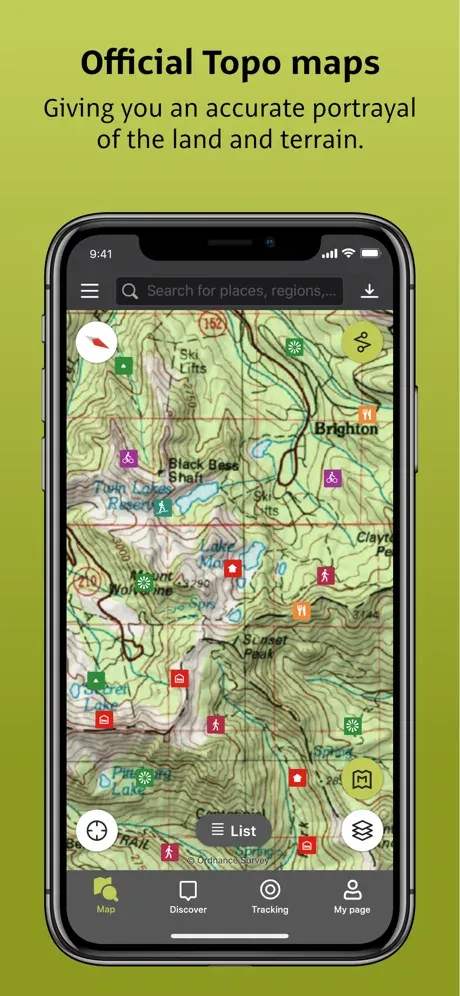
The pro version of this hiking app also gives you access to detailed topo maps.
Relive

Best for: Sharing your adventures with friends
Free version: Yes
Pro version: Yes, Relive Plus is $6.99/month or $38.99/year
Compatible with: IOS/Android (Download Android version or iPhone version)
Unique features: You can make your adventures into 3D videos and sharable stories
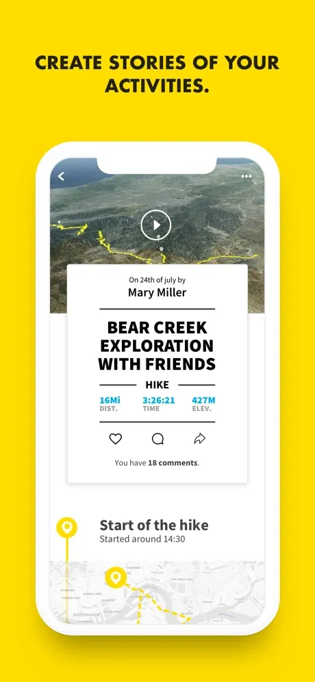
Relive is a free hiking app with a twist. The app is built on the idea of community and sharing your adventures in the form of stories and videos with others.
The video shows 3D satellite maps of your route with you represented by your profile photo.
Your little photo moves along the route, and the video tracks with you, giving a birds-eye view of the topography you covered. It’s pretty neat!
Another neat feature of the Relive hiking app is that it can connect with other GPS hiking apps.
Relive also has a pro version that gives you higher quality videos with enhanced editing options and the ability to add music to your video.
You can try Relive Plus for free for 30 days. After that, it’s either $6.99/month or $38.99/year.
Map My Walk
Best for: Serious hikers with athletic goals
Free version: Yes
Pro version: Yes, $29.99/year
Compatible with: IOS/Android (Download Android version or iPhone version)
Unique features: You can set up a training plan to improve your hiking skills
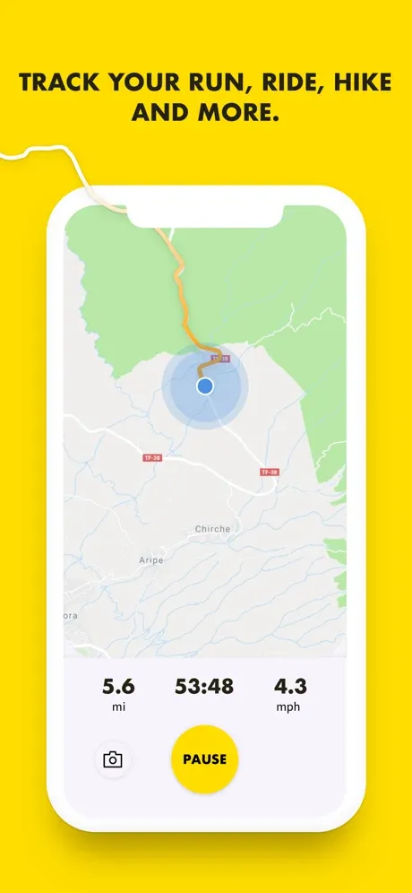
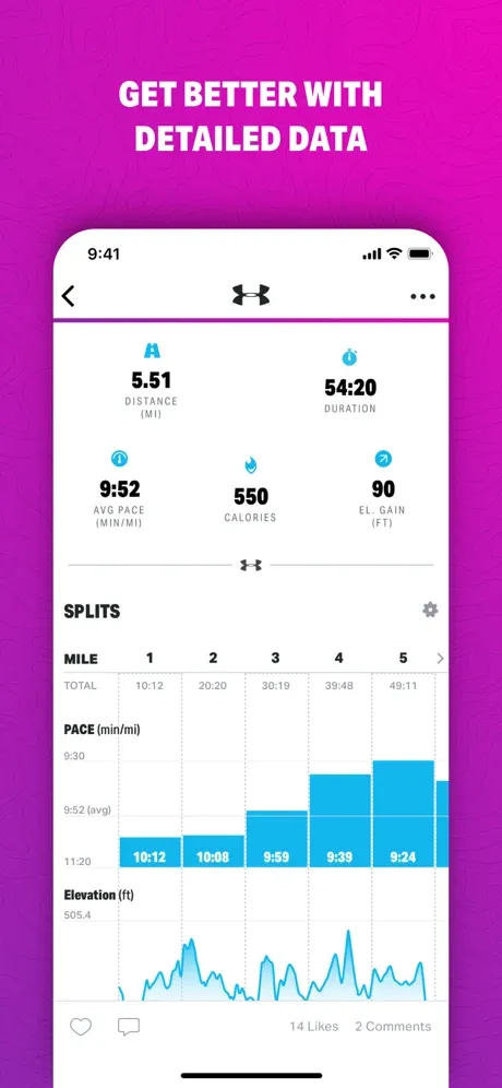
Map My Walk is the best free hiking app if you love hiking or trail running as part of your workout routine.
The app is made by Under Armour and provides a way for people to track their hikes and, if you want, connect with others to add a little competition to your routine.
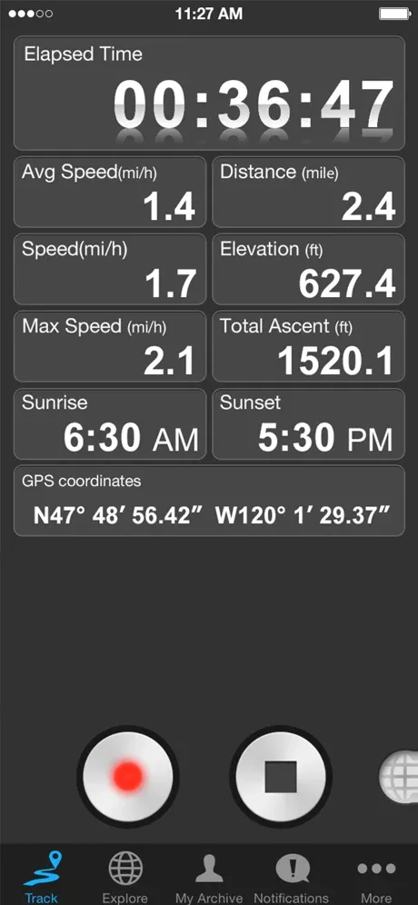
This GPS tracking app connects with the Apple Watch, so you can see your heart rate as you work out. Plus, at the end of your hike, you’ll get statistics on how many calories you burned.
In my opinion, the standout feature is the ability to set up a training plan.
Google Maps Offline
Best for: Exploring an unexpected detour
Free version: Yes
Pro version: No
Compatible with: IOS/Android (Download Android version or iPhone version)
Unique features: Can be used in cities and many other countries
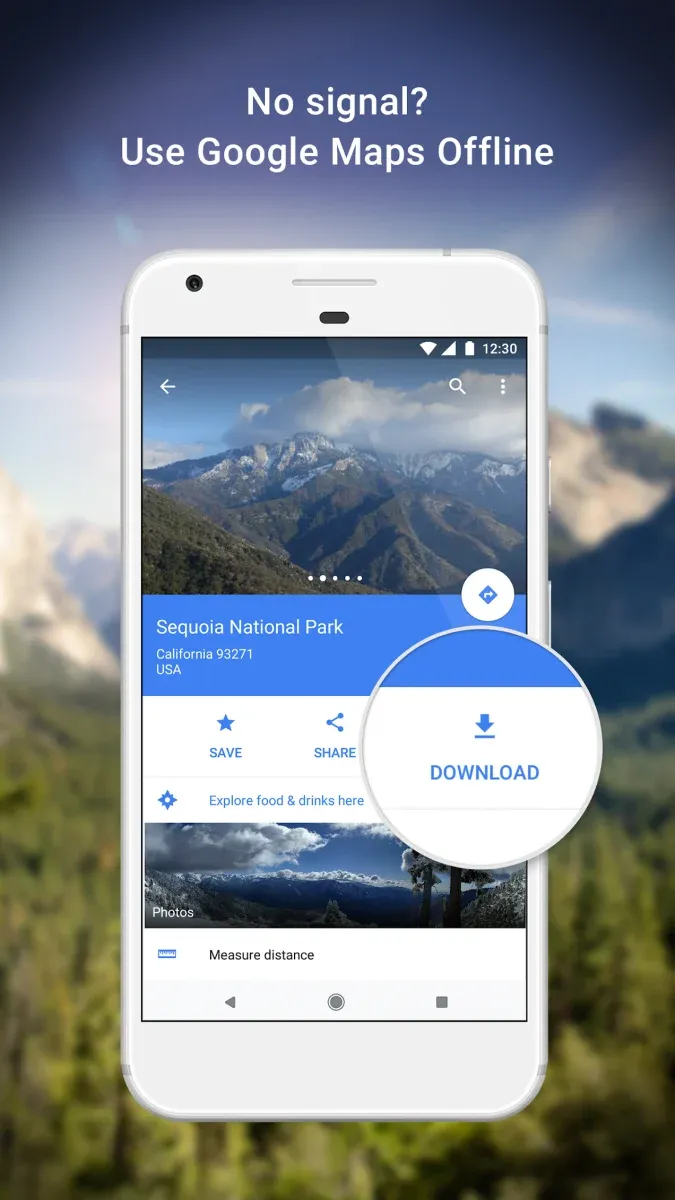
Did you know you can download and save maps from your native Google Maps app to use while you’re offline?
Google Maps Offline is the best offline hiking app for that quick excursion to an intriguing location when you don’t have another dedicated hiking app downloaded.
Google Maps Help will walk you through how to download and save the maps, and this feature can be done on both Androids and iPhones.
The app walks you through how to save your battery and data while still having the navigation tools you need.
The offline maps on Google Maps can be used for hiking but are particularly useful for navigating cities (perhaps while biking or running).
Ramblr
Best for: Recording off-trail adventures
Free version: Yes
Pro version: No
Compatible with: IOS (Download iPhone version)
Unique features: Allows you to create a trip, then add photos and notes as you make progress.
The Ramblr hiking app is perhaps the best free hiking app with offline maps.
And it’s an excellent option for those of us who are invested in several outdoor pursuits, not just hiking.
It can record hiking and biking routes, snow sport routes, kayaking, canoeing, or just regular travel trips.
The unique feature about Ramblr is that it allows you to create a trip to share with others, and then you can edit the route with photos and personal notes as you go.
This would be an excellent app for those who love off-trail adventures because you can give yourself reminders about your route for the next time you go.
It, of course, also works offline and can still give you your GPS location while it’s offline.
Finally, you can also share your routes on all the major social media outlets.
Best Paid Hiking Apps
Gaia
Best for: Those who hunt and fish as well as hike
Free version: Yes
Pro version: Yes, $36/year
Compatible with: IOS/Android (Download Android version or iPhone version)
Unique features: River gauge information, put in and take out information for fishermen, as well as layers for recent burns, timber management, and land type for hunters.
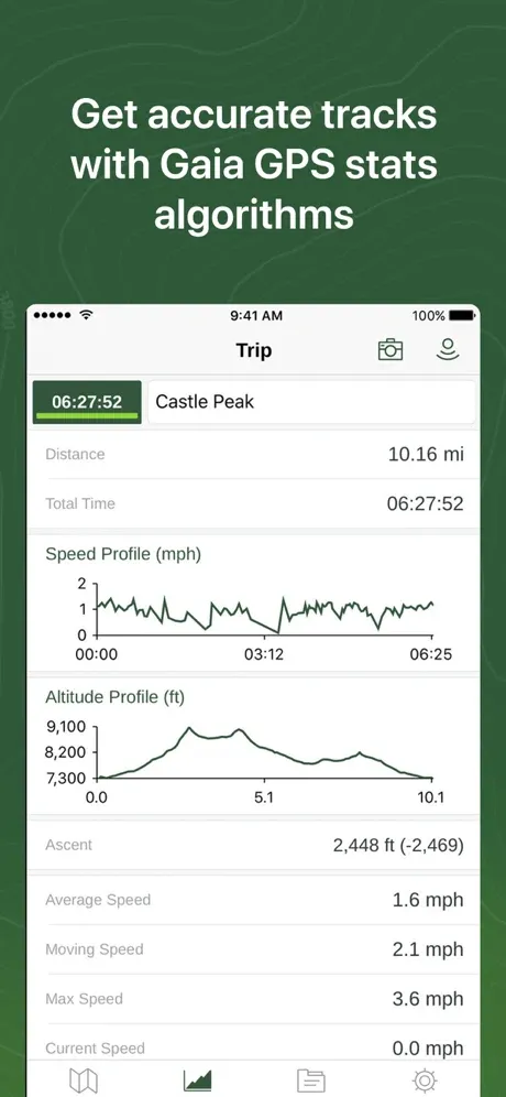
Gaia GPS is one of the top hiking apps for backpacking and mountain biking, you know, the regular outdoor stuff. But it also stands out for people who like hunting, fishing, and offroading.
The Gaia GPS hiking app, now owned by Outside, has some pretty incredible features for anglers.
The app includes stream gauge data and water temperature, and the data updates every six hours.
For hunters, the Gaia GPS app offers similarly helpful information.
You can search through topographic and satellite maps and private land maps, burn history maps, and timber harvest information.
There’s a free version of this app, but the premium version comes with higher resolution satellite imagery and the ability to customize your maps.
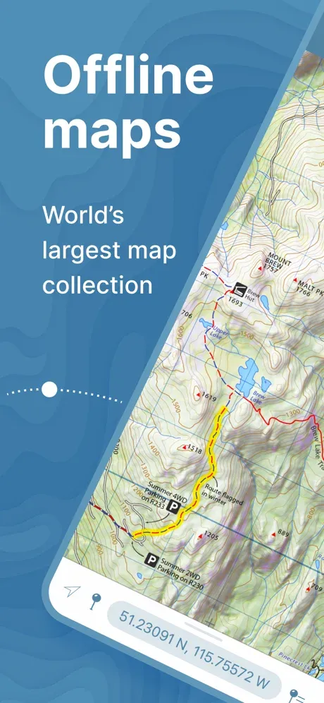
Avenza
Best for: Those who only need specific maps
Free version: Yes, but requires in-app purchasing
Pro version: No
Compatible with: IOS/Android (Download Android version or iPhone version)
Unique features: Boasts the world’s largest digital map store, with over 1 million maps to choose from.
The Avenza trail map app is a great all-in-one GPS hiking app.
The unique thing about Avenza is that you have to download each map you need separately. Some maps are free, some are as little as $1, and some cost a bit more than that.
While it doesn’t have detailed maps pre-loaded into the system, you can pick and choose the exact maps you need for your hobbies.
Avenza also allows you to drop pins, make notes, add geotagged photos, as well as share routes.
And once you download offline maps, you can use GPS location tracking without cell service.
FarOut (Formerly Guthook)

Best for: Long-distance trails
Free version: Yes, but requires in-app purchasing
Pro version: No
Compatible with: IOS/Android (Download Android version or iPhone version)
Unique features: Download the map needed one time, then use it forever
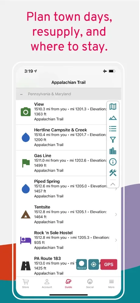
Thinking of hiking the Pacific Crest Trail or Appalachian Trail? Or maybe you’ve done those, and you’re looking for a new long-distance trail to conquer? If so, FarOut is the hiking app for you.
FarOut is specifically designed to give detailed trail information for long-distance treks with no cell service.
Hiking routes are laid out in addition to other helpful information, like where tent sites are located.
Each small section of these big hikes is laid out as its own map, so there’s plenty of detail at a small scale.
FarOut features offline maps, and while each map must be purchased separately, the overall cost is still cheaper than buying each section map individually.
Spyglass
Best for: Tracking hikes with high precision
Free version: No
Pro version: $2.99/month
Compatible with: IOS/Android (Download Android version or iPhone version)
Unique features: Precise navigation tools like a gyrocompass, rangefinder, and sextant
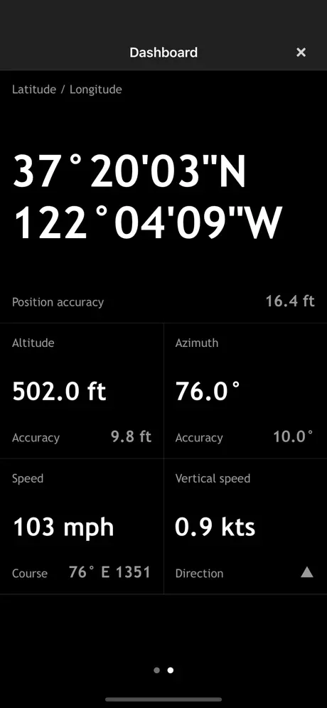
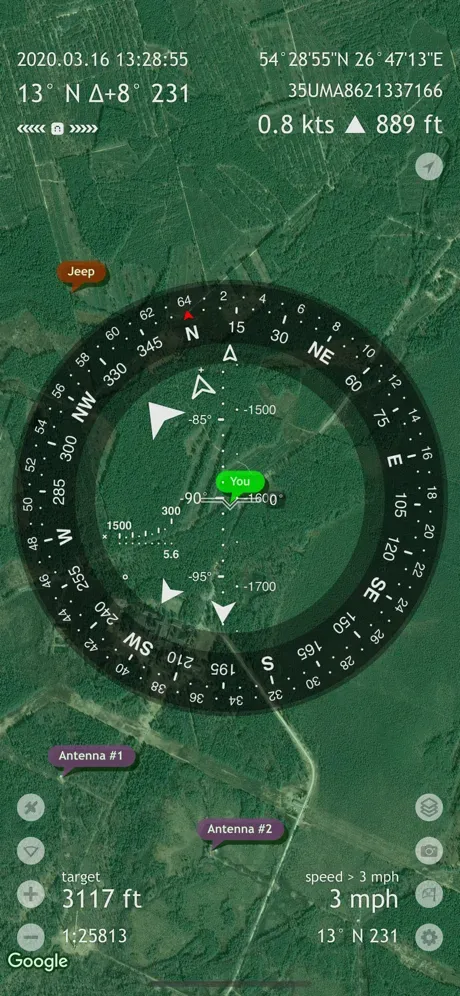
Spyglass is the best GPS app for hiking for off-trail adventures. Maybe you want to document a new trail, backcountry skiing route, or you’re a scientist doing fieldwork that requires precision.
This app works offline and is one of the few outdoor apps I’ve seen that focuses on giving you extremely precise measuring tools.
Rather than a database of maps, users of Spyglass can create their own trails with confidence, knowing they can get back to their original waypoint.
Spyglass features a gyrocompass, which is a fancy compass that doesn’t have any drift due to magnetic anomalies like standard compasses do.
This type of compass is sometimes used in air and marine navigation but is still perfect for tracking hikes.
This app also features a nautical GPS, which can track your speed and course.
And it includes a rangefinder, which measures the distance between you and other objects, as well as a sextant, which measures the height of objects (like mountains).
You can track your elevation gain as well as track celestial objects too.
Spyglass’s augmented reality feature allows you to track those celestial objects even when they go below the horizon.
Maps 3D Pro
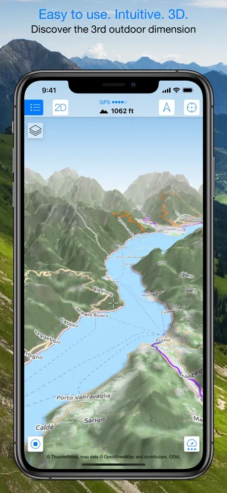
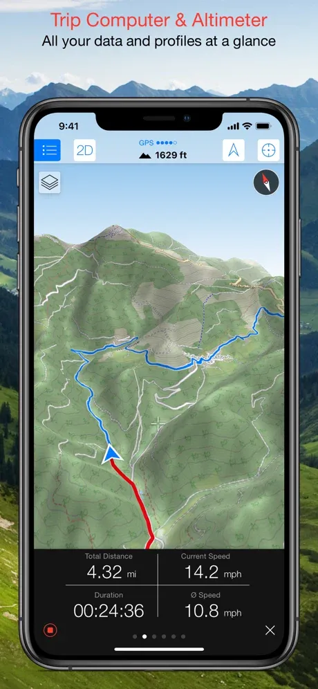
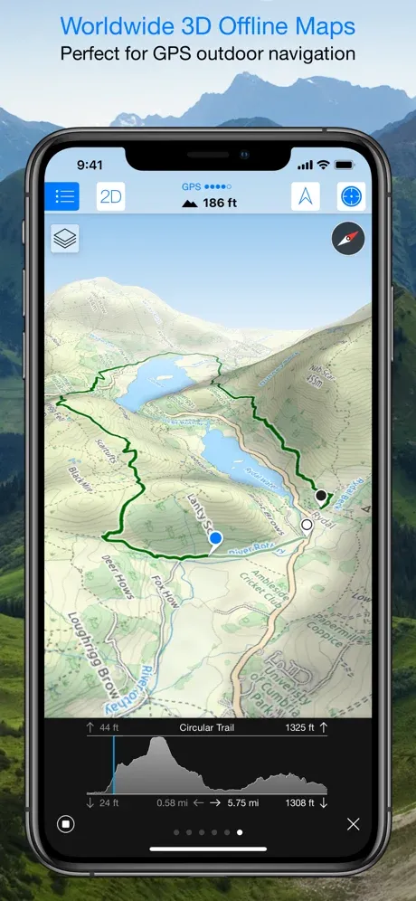
Best for: Visualizing your surroundings
Free version: Yes
Pro version: Yes, $3.99
Compatible with: IOS (Download iPhone version)
Unique features: Simple to use and shows your location on a 3D map
Maps 3D Pro is the best topo map app. It gives your location on a 3D topographic map, which means you get a realistic picture of where you are on the landscape.
Maps 3D can be used in the backcountry as well as in cities. It uses both OpenStreetMap and NASA 3D scans of the earth to produce high-quality maps wherever you are.
This is one of the few hiking apps for iPhone only and is available through the Apple App Store, although there is a similarly named “3D Map” app on Google Play.
The topographic maps you need are free but must be downloaded by geographic area.
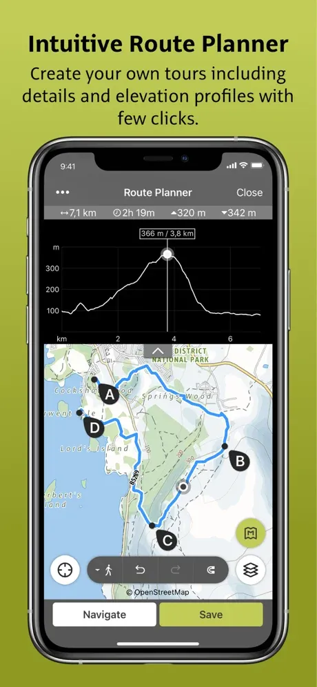
The pro version of Maps 3D allows you to use the route planning feature to discover new trails and download larger maps.
Peakfinder

Best for: Learning the names of hills and mountains
Free version: Kind of
Pro version: Yes, $4.99
Compatible with: IOS/Android (Download Android version or iPhone version)
Unique features: Database of 850,000 peaks
Peakfinder is one of the best trail apps to just have fun with.
Unlike other hiking apps, which are primarily for navigation purposes, Peakfinder doesn’t focus on hiking trails. Instead, you can use the app anywhere and offline to find the names of the peaks around you.
Their slogan is “from Mount Everest to the little hill around the corner.”
The app uses your phone’s camera and GPS location to figure out what peaks you’re looking at.
They’ll show you the names of the peaks by overlaying the ID tags over the mountains. You can then take snapshots and overlay the peak information afterward.
The app works a few times with the free version if you want to test it out, but after that, you must use the pro version to keep using it.
With the pro version, you can edit and export photos of your mountains.
Cairn
Best for: Peace of mind in the backcountry
Free version: Yes
Pro version: Yes, $4.99/month or $26.99/year
Compatible with: IOS/Android (Download Android version or iPhone version)
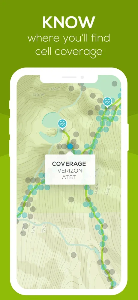
Unique features: Shows you where other people have found cell phone coverage on the trail.
Cairn (pronounced “Karen”) is possibly the best hiking navigation app for practical and safety information.
I say that because it shows you where on the trail other people have found cell phone coverage. This is the only app that uses crowdsourced data like this.
I remember once, after a minor surgical procedure, I was backpacking and started having some stomach pain.
Thankfully I *happened* to know the tiny spot on the trail that had cell service, and I could call someone to Google my symptoms (I was fine).
Had I not been a local in the area, though, I probably would have canceled my trip.
The Cairn app would have been so helpful during that trip!
This ultimate hiking safety app, of course, gives you a GPS map of your location but also calculates your estimated time of arrival (ETA) based on your speed and the elevation gain changes ahead.
Cairn also allows you to input a “safety circle” of friends or family, and it automatically alerts you if you’re late finishing your hike.
Conclusion: Our Pick for the Best Hiking App

My top two pics for the best hiking apps are AllTrails and Cairn.
AllTrails is simply an excellent app that is useful for all kinds of outdoor adventures and is one of the most popular hiking apps out there.
You can use it for hiking, mountain biking, city running, and it has information on wheelchair-accessible routes.
My second pick is Cairn because the safety features are outstanding.
Allowing users to see where they can get cell phone coverage, estimate their ETA, and alert friends if something goes wrong are all extremely valuable tools in a hiking app.
ABOUT THE AUTHOR

Meredith Dennis
Meredith is a biologist and writer based in California’s Sierra Nevada. She has lived in six states as a biologist, so her intel on hiking and camping is *chef’s kiss* next level. One of her earliest camping memories was being too scared to find a bathroom at night on a family camping trip. Thankfully, she’s come a long way since then and she can help you get there too!
Looking for outdoor gear recommendations? Check out our related posts below!
Best Compact Binoculars for Outdoor Activities
Best Heated Gloves for Cold Weather
Best Waterproof Walking Shoes for Women
Best Dog Backpack Carriers for Hiking
11 Best Backpacking Rain Ponchos
Otterbox Defender Phone Case Review
Pin this image for future reference

